
The R/V Thomas G. Thompson left Honolulu on November 5, 2011 heading toward the Western Pacific. This expedition journal was written by cruise participants and uploaded about once per weekday, depending on internet availability.
December 3, 2011: Measuring Magnetics
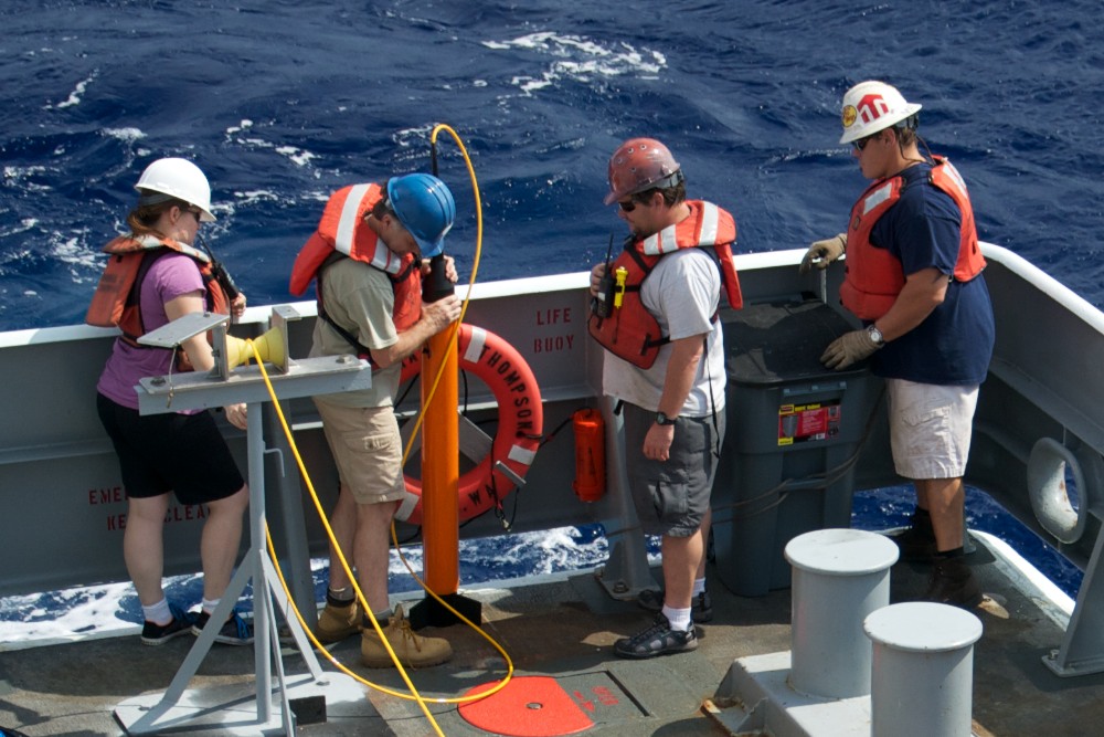
Maggie going in (Credit: Will Koeppen)
Since the dawn of the industrial era, science has been driving all sorts of improvements in technology. This is especially apparent over the past twenty years while researching the geomagnetic record of the Jurassic Quiet Zone. One of the first well documented cruises to have researched the Jurassic Quiet Zone was in 1992, when the young Dr. Maurice Tivey and his fellow researchers used two different sorts of towed magnetometer technology: a deep-towed fluxgate magnetometer and a surface-towed proton precession magnetometer.
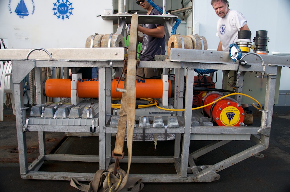
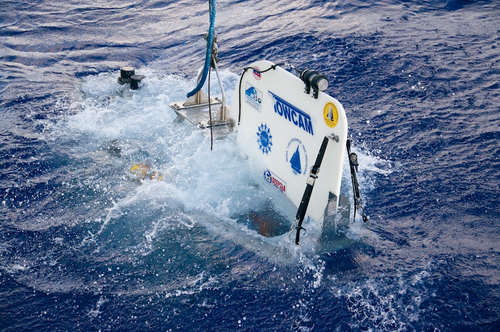
TowCam's orange maggie (Credit: Will Koeppen)
These magnetometers recorded the magnetic field in completely different ways. Fluxgate magnetometers include three small sensors, oriented at right angles to each other (x, y, and z). Each sensor consists of a ceramic core that is easily magnetized surrounded by a primary coil and secondary coil. A variable electric current is applied to the primary coil, which produces a changing magnetic field, which in turn produces an electric current in the secondary coil. In the absence of any external magnetic field, the current added to the primary coil should exactly match the current measured in the secondary coil. However, any background magnetic field (e.g., Earth's planetary field) adds or subtracts from the induced magnetic field depending on the orientation of the sensor. By measuring the current in the secondary coil and comparing it to the input current, the strength of the background field can be calculated. Since fluxgate magnetometers cover three axes, they can measure the direction of the magnetic field, something that was invaluable to the interpretation of the reversal rates of Earth’s magnetic field.
The proton precession magnetometer lacked this directionality and simply identified the intensity of the magnetic field. The proton precession technique uses hydrogen-rich fluids (e.g., water or kerosene), whose protons have the property of aligning themselves to any magnetic field. Applying a strong electric current to coils wrapped around the fluid forces the protons to align themselves to the induced magnetic field. The current is then turned off, and the protons realign themselves with Earth's magnetic field. The frequency at which the protons reorient themselves is directly proportional to the strength of the background field (imagine moving a magnet close to and away from a compass and watching the oscillation of the needle as it is attracted to the magnet and magnetic North). The technique is very accurate, but has the limitation of not containing any data about the direction of the field, recording only its strength.
HMR2300 on the fin (Credit: Will Koeppen)
In 2002, Maurice returned to the JQZ with Masako Tominaga and new technology, and they set out to extend the survey line from the first cruise. A few technological advances from the decade between these two research cruises made their measurements more accurate. The state-of-the-art HMR2300 magnetometer used a very simple method to measure the magnetic field accurately in three dimensions by using magneto-resistors, special material that changes its electrical resistivity depending on the magnitude of the magnetic field present along each of the three axes. This is still considered one of the most high-tech magnetometers to date.
41 hours and counting
(Credit: Will Koeppen)
Maurice and Masako also began using Overhauser magnetometers, which they towed at both the surface and mid-depth. These magnetometers work by using what is known as the Overhauser Effect. As in proton precession, this magnetometer uses a hydrogen-rich fluid, but it is doped with a special chemical. The chemical's electrons are excited by a low-power radio frequency, which alters the direction of the nuclear spin state of the liquid. When the source of the excitation is removed, the spin state returns to its original direction (that of the ambient magnetic field). The reorientation of the overal spin state of the fluid takes much less time than the reorientation that occurs during proton precession, so measurements can be taken much faster providing higher resolution data. Furthermore, it doesn't require a strong electric current like proton precession. For oceanographic research, this comes in very handy because it allows us to keep the magnetometers in the water for longer time periods without recharging the batteries.
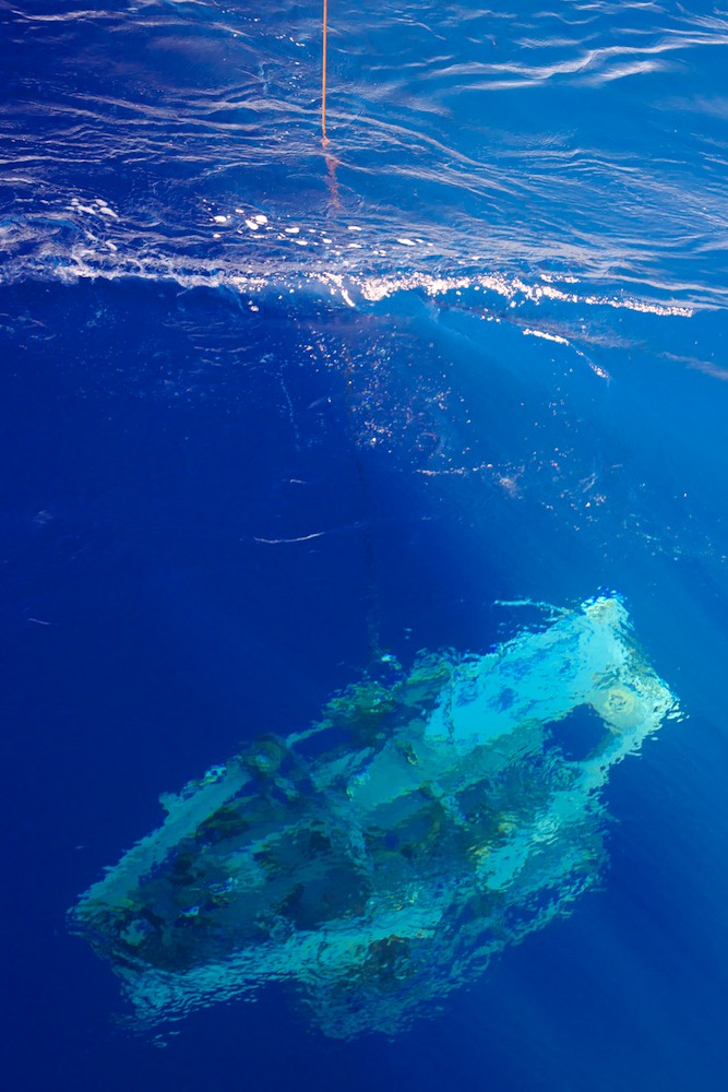
On this expedition to the Jurassic Quiet Zone, we are using six magnetometers of three different types. We tow one Overhauser at the surface and one Overhauser at mid-depth on the TowCam sled. TowCam’s camera, placed on its stabilizing fin, has been replaced with a magnetoresistor. Sentry is the deep component of our tri-level survey, and it contains three of its own fluxgate magnetometers in its mid-section, strategically located to avoid the electrical interference from its motors. With all of these magnetometers in the water, we are taking magnetic measurements at depths of approximately 10, 3000, and 5800 meters. Recording data at three levels helps to identify how the water column is attenuating the magnetic signature and allows us to compare our data to older data that might have only one measurement depth.

Sentry's three (Credit: Justin Fujii)
One of the most interesting advancements is in the precision that comes with using the AUV-Sentry, which is equipped with a very intelligent sense of orientation. Sentry's navigational systems, called the Inertial Navigation System (INS) and the Doppler Velocity Locator (DVL), record various bits of information about the vehicle’s behavior in reference to the seafloor. The INS is primarily responsible for recording heading, pitch and roll of the vehicle, and the DVL records information about the speed of the AUV as well as distance from the seafloor. This alone is seemingly disconnected from magnetic research, but when taking a closer look, this information is vital to the accuracy with which the data can be analyzed. Having these systems record such data allows us to correct any error in the magnetic data by adjusting for the positive/negative pitch, roll and any offsets in the heading of Sentry.
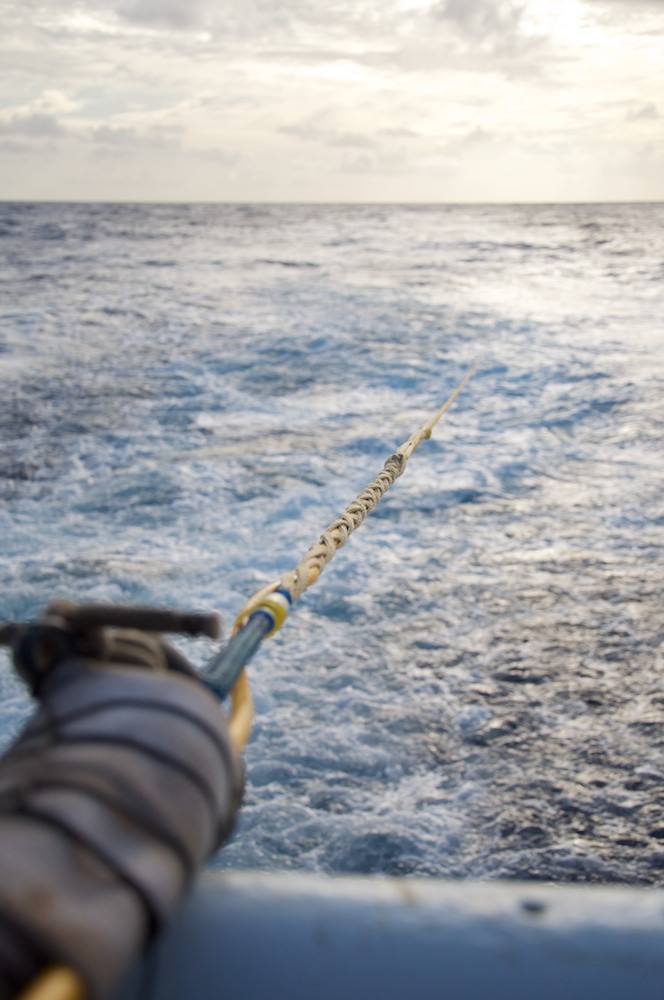
Fishing for magnetics
(Credit: Will Koeppen)
Talking plainly about how we are able to correct for error in how the vehicles behave while deployed does not give much justice to what it takes for Masako and Maurice to create graphics that accurately depict magnetic anomalies. They accomplish this through their vast working knowledge of programming and coding via software such as MatLab. Over the years of working on oceanographic magnetics data they have compiled and written several programs that allow them to process, map, and adjust forward and inverse models. In sitting down with Maurice Tivey to pull back the curtain on what is necessary to create “wiggles” (graphs of magnetic anomalies that are what the name implies, a wiggle of sorts), we found that many hours are spent each day playing with trigonometric calculations and angles to correct any skewed data from TowCam and Sentry.
With all the advancements in technology since the first cruise in 1992, we are well on our way to uncovering the truth of the long-pursued mystery of the Jurassic Quiet Zone. ♦