
The R/V Thomas G. Thompson left Honolulu on November 5, 2011 heading toward the Western Pacific. This expedition journal was written by cruise participants and uploaded about once per weekday, depending on internet availability.
November 27, 2011: Halfway Through
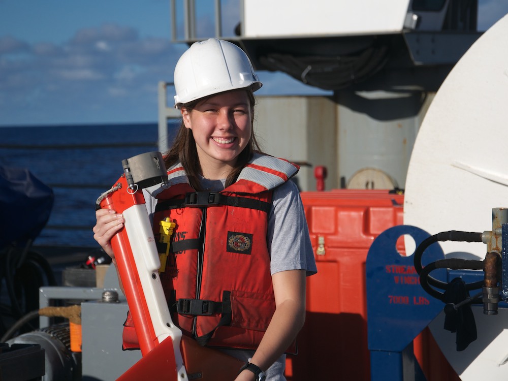
Dani, seismic birding (Credit: Will Koeppen)
Every now and then, the thoughts and memories of what we’ve done on the R/V Thomas G. Thompson to this point filter through my mind. It simply amazes me that we are already twenty-one days into the cruise, halfway down our timeline. It just as easily amazes me that a little over twenty-one days ago we were anxiously setting our first foot aboard the Thompson, settling into our “Holiday Inn” accommodations, conducting safety drills and meeting the other members of the science party and crew for the first time, as well as learning what was expected of us. Now as we continue our steady march down the line charted in the waters of the Western Pacific, we have begun to master the art of watchstanding, allowing us to gain more freedom during our personal time. The days leading up to this point have been filled with a bounty of excitement, tension, nervousness, and even some well-received family time.
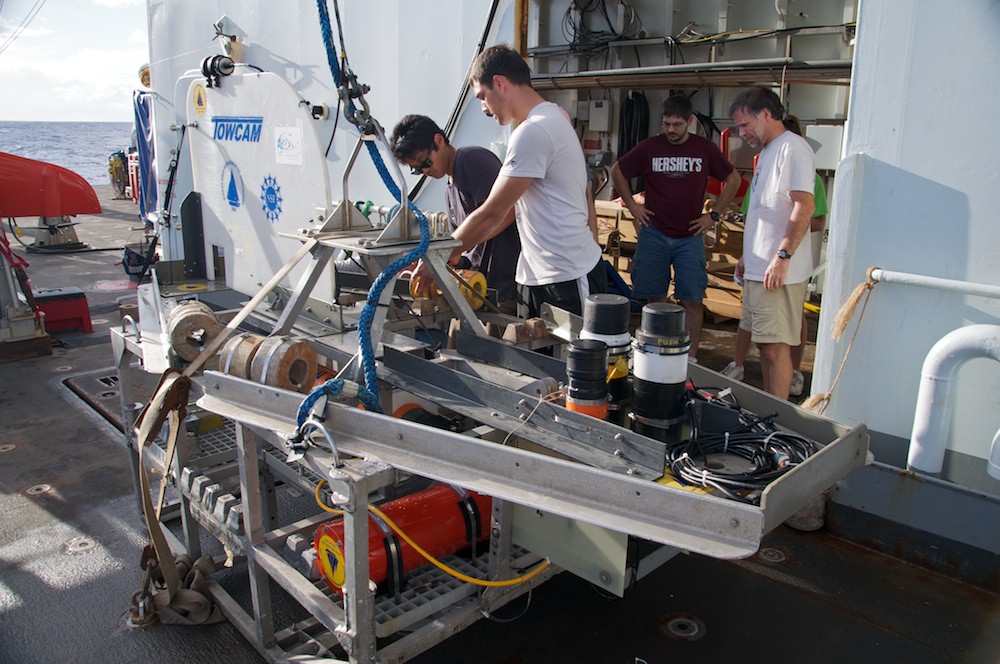
TowCam puts on weight (Credit: Will Koeppen)
We began by steaming to Sentry’s test dunk site, a small hole ~6000 meters deep located southwest of Hawaii that would allow the AUV to warm up for the missions ahead. Upon completion of the dip test, we recovered Sentry and began steaming toward the first waypoint of our research track. It was during this time that we fleshed out basic schedules for shifts, how TowCam and Sentry are deployed/recovered, general guidelines for what systems were to be observed, and how to process the various data being collected by each system. During our nine-day transit to the study area, our workload was increased step-by-step as more equipment and systems were brought online, such as the surface-towed magnetometer (a.k.a. Maggie). It wasn’t too long, however, until we faced yet another early obstacle, our first bad weather day. The amplified pitch and roll of the ship over the degrading sea state during our first storm on the Pacific sent many scurrying to re-administer preventative medicine in a multitude of ways.
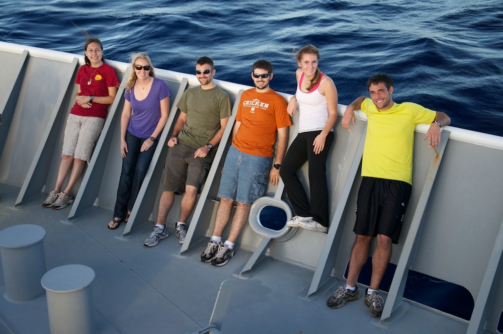
21 days later (Credit: Will Koeppen)
But as the storm had come to remind us how fleeting our sense of comfort aboard the Thompson can be, it just as quickly disappeared over the horizon behind the fantail. With calmer waters (in the physical sense) returning, so too did the confidence of everyone aboard as life returned to normal. Yet something dark and sinister still lurked around the corner, the International Dateline. With the crossing of the dateline came a squall of sorts, this time from a fire hose commanded by Davy Jones, Calypso, and Neptune himself. Our strengths and weaknesses were proven before the mighty court as we retired for the day, worn out from overcoming the many tasks set upon us newts. We could at last take one final breather before beginning our battle against fate, or so it would seem.
With hopes high and morale soaring, we steamed into position to deploy our seismic equipment for the first leg of our survey. After nine hours of shooting and a successful retrieval, we steamed back to the beginning of the line to be in position for Sentry’s first mission of the cruise. The multibeam bathymetry and CHIRP systems were turned off (since both operate at frequencies similar to that of Sentry’s communications systems), and Sentry and TowCam were both deployed. The mission lasted approximately a day and a half, resulting in the successful recovery of Sentry a short distance beyond its predicted surfacing location.
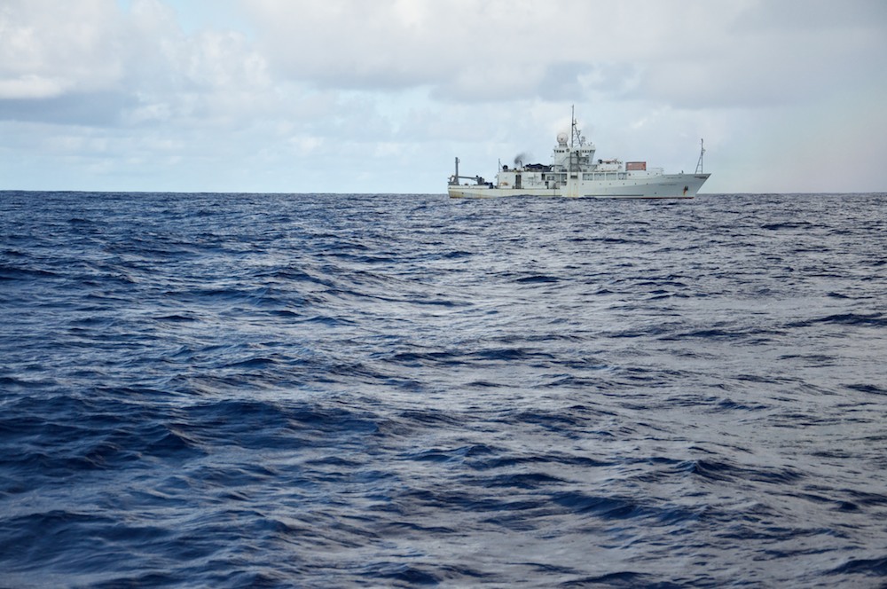
Sometimes, feels small (Credit: Will Koeppen)
While planning the next leg of the survey, the air was brimming with whispers and rumors of more bad weather ahead. To avoid deploying Sentry in rough seas, we extended our seismic survey to 24 hours, and then continued southwest along our track using the multibeam, CHIRP, and Maggie to get an overview of the rest of our survey lines. Sure enough, a day later, dark clouds formed a ring around our location, and we encountered rain, wind, and larger waves. That weather persisted even after we completed the overview and returned to the top of the survey line. Even when the storm had passed, we had the pleasure of riding plenty of 12–15 foot waves. The sea state was still too high for Sentry deployment, so we took seismic data perpendicular to the aforementioned survey line in order to expand our subsurface interpretations to three dimensions, and we looked for a possible nearby fracture zone.
Running the counter (Credit: Will Koeppen)
When the weather finally cleared, we deployed Sentry for its second mission of the cruise in which we discovered that Sentry, much like a child at the playground, decided it wanted to play in the mud. This became clear after we recovered it and found abyssal clay on the bottom of the vehicle. As the Sentry team worked on Sentry’s navigation data to find out what happened, we re-deployed our mid-tow magnetometer, TowCam, and it has been working hard collecting data at a depth of 3500 meters for the past few days.
As today comes to a close, we are halfway through the scheduled cruise. We definitely have our work cut out for us, but we're ready to face the challenges ahead. ♦