
The R/V Thomas G. Thompson left Honolulu on November 5, 2011 heading toward the Western Pacific. This expedition journal was written by cruise participants and uploaded about once per weekday, depending on internet availability.
November 9, 2011: What is a Watchstander?

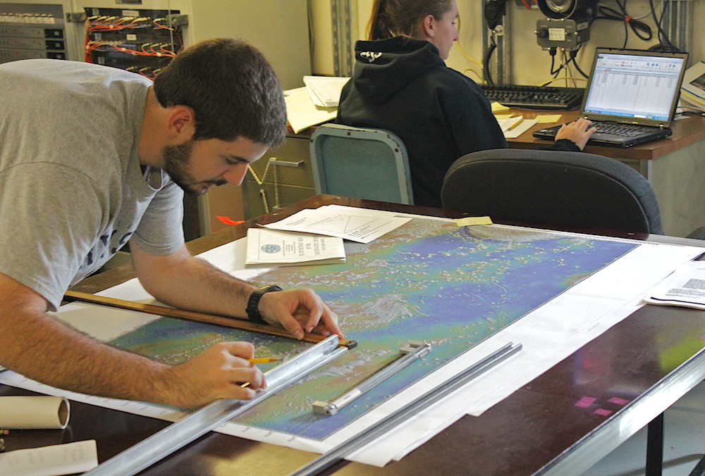
Watchstanders at their station (Credit: Tom Bond)
On the first day of the cruise we had a meeting where each member of the science team introduced their names and job titles to each other. We heard job titles such as 'Sentry Specialist', 'Resident Technician' and 'Seismologist'; when it was time to introduce ourselves some of us had no idea what our job title was officially called. Now, we know better.
After the first day or two of adapting to life on the high seas (while the tech team and some of the science team were busy testing their equipment) the five Golden Bears plus Christie Hegermiller, Rachel Gipe, and Ashley Stinson learned some of the responsibilities our job would entail. Co-chief scientist Dr. Maurice Tivey gave a very nice presentation about some of the past research that he and chief scientist, Dr. Masako Tominaga, had done over the past two decades in this region of the Pacific. Then Masako laid out the specifics of geophysical watchstanding for us.
Our job, we learned, consists of logging and processing massive amounts of data from the various scientific instruments aboard. Specifically, the data that we are supposed to keep track of deals with the depth and shape of the seafloor. The CHIRP sonar system uses a low frequency sound signal to profile the seafloor and even the shallow subsurface directly along the ship's path. Whereas the multibeam sonar system uses a higher frequency signal to create a bathymetric map under our ship with an imaging area seven kilometers wide. (Just imagine 'mowing a lawn' with a lawn mower that wide!)
Plotting the ship's track (Credit: Nick Mathews)
Another neat aspect of our job includes manually plotting our course on a huge map of the Western Pacific. The plotting we do, as well as the log books we keep, serve as a means to reduce our dependence on the digital logging and provide essential ancillary data. At first, I thought that it was overkill to record all of this data every 15 minutes, which has already been neatly filed away on hard drives. But after trying to make just one of these bathymetry graphics from the raw data it suddenly made sense. The real usefulness to all of this watchstanding and processing and logging and logging and logging isn't simply to have something in case the power fails. Rather, it is our job to catch flaws or gaps in the acquisition of data to avoid error and misinterpretation later on. If we do see something amiss, it is our job to alert one of the lead scientists or tech team. Additionally, after the cruise, if the scientists find anything interesting or strange in the data, they will be checking our handwritten logs to try to determine if what they are seeing is real or just an instrument error.
Once we get to our area of interest in the Mid-Jurassic Quiet Zone, our job will also include being deckhands. For example, we will be helping to deploy and retrieve an 800 meter streamer of seismic geophones. As well as simply running around the boat checking to make sure the thin magnetometer cable, which is already being towed behind our ship, hasn't snagged a shark, been broken, or sunk to the bottom.
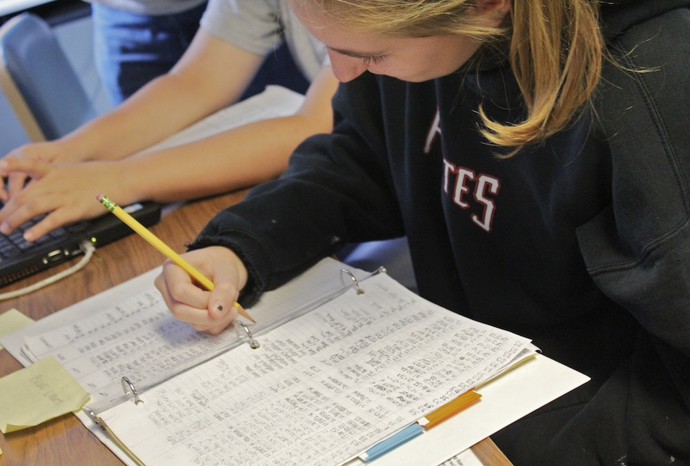
Recording ancillary data (Credit: Nick Mathews)
Masako split us into three groups, each of which will perform two four-hour shifts every day until the end of the cruise in mid-December. I personally was assigned to 0400–0800 and 1600–2000 shift, and I remember thinking at this point: “I will be spending weeks and weeks sailing the high seas and never once see a sunrise or sunset, and, most of all, I will be missing two meals a day!” This made me terribly worried. But I am very lucky that there are enough people on board that someone is always willing to hold the fort down so we can take breaks to eat and/or go on deck to watch something interesting!
For us watchstanders, this is the meat and potatoes of what we will be doing on board for the next several weeks. It is quite an eye-opening experience! ♦